")

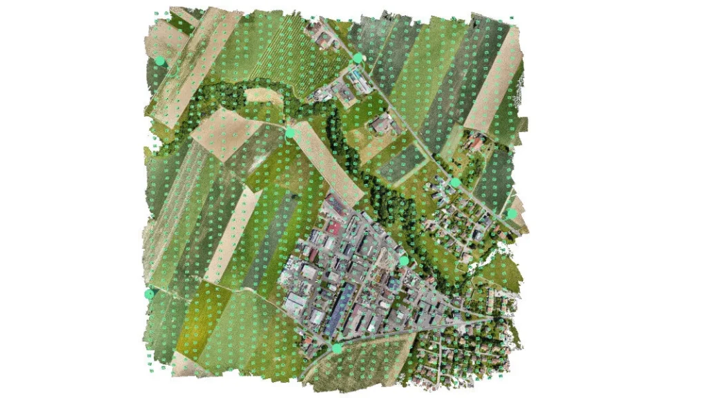
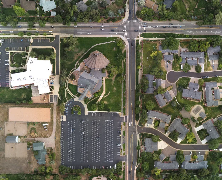
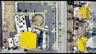
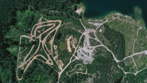
Aerial Mapping
Unleash the power of precision with our comprehensive drone aerial mapping services. We utilize advanced drone technology to capture detailed aerial data of your project site, ensuring unmatched accuracy and efficiency.Our highly skilled team then transforms this data into high-resolution maps, and insightful reports.

Thermal Imaging
Unmask the unseen with our cutting-edge drone thermal imaging services. These advanced drones, equipped with thermal cameras, capture invisible heat signatures, revealing what the naked eye misses.This allows us to identify temperature variations across your area, pinpointing potential problems, inefficiencies, or hidden assets.

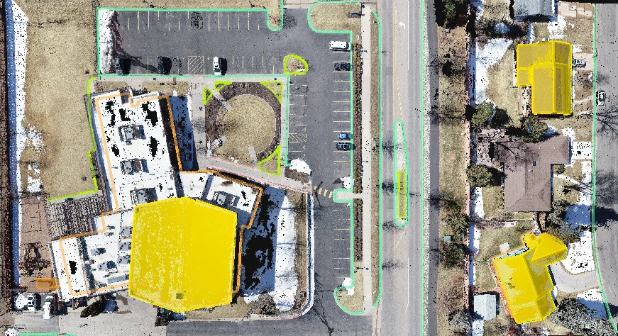
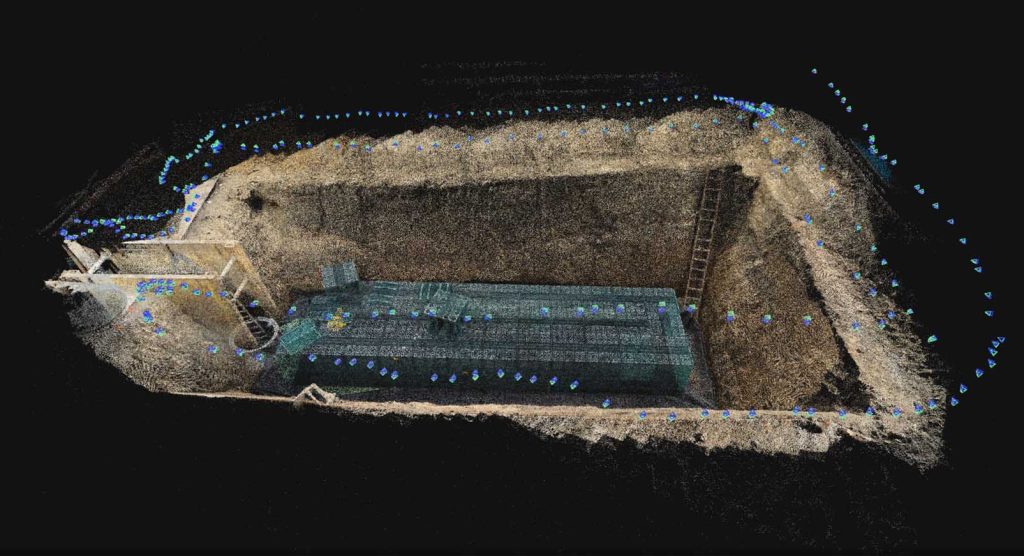
3D Modeling
Craft a digital dimension of your world with our high-precision drone 3D modeling services.We utilize advanced drones to capture a multitude of images from every angle, creating a realistic and detailed 3D representation of your site.This comprehensive approach goes beyond traditional surveying, offering a virtual replica you can explore and analyze.